
The Geography of the Kyles of Bute
The Kyles of Bute ("kyle" from the Gaelic caol, a strait) form a narrow, roughly horseshoe-shaped channel separating northern Bute from the Cowal peninsula. The East Kyle and West Kyle meet near the Burnt Islands, with Loch Riddon running north into Cowal. At Colintraive the East Kyle is only a few hundred metres wide — the obvious crossing point between Bute and mainland Argyll.
Early Maritime Transportation
Bute's position in the Firth of Clyde placed it on sea routes between the Lowlands and the western Highlands. Rothesay Castle, dating from the thirteenth century, reflects the island's strategic importance in the struggles between Scottish kings and Norse powers. Movement between Bute and Cowal by boat was routine, though detailed records of early ferry operations at Colintraive are scarce.
Traditional Ferry Services
The village's Gaelic name, Caol an t-Snàimh, is usually translated as "the strait of the swimming", and is widely associated with the practice of swimming cattle across the narrows on their way to mainland markets. A local boatman's ferry served travellers here long before the modern vehicle service.
The Development of Regular Transportation
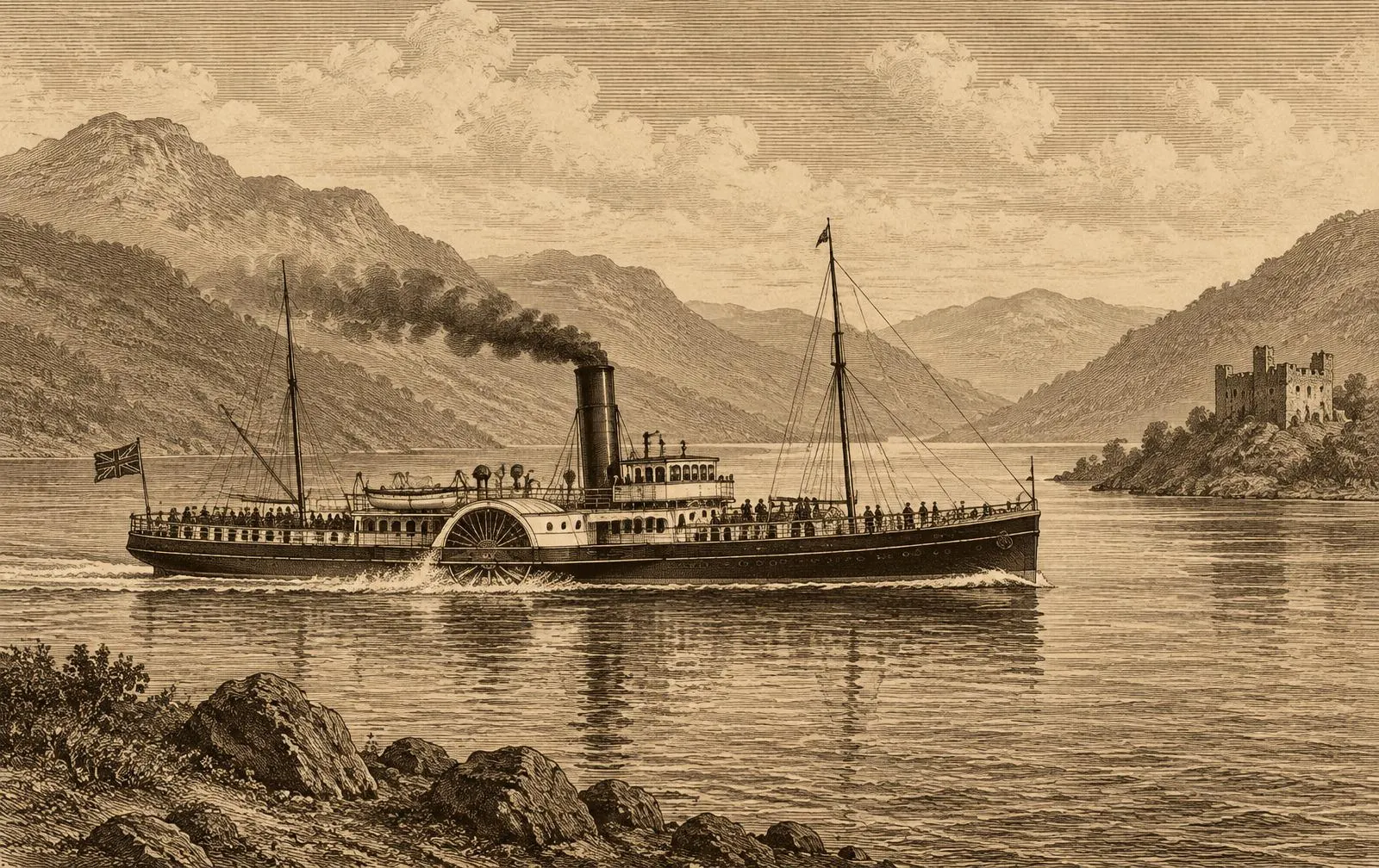
From the nineteenth century, the Clyde steamer fleets made Bute one of the best-connected islands in Scotland. Paddle steamers carried crowds from Glasgow to Rothesay and through the Kyles, whose scenery became a celebrated excursion, calling at piers such as Colintraive and Tighnabruaich. The short Colintraive–Rhubodach crossing remained a local link for travellers by road.
The Introduction of Vehicle Ferries
The growth of motoring gave the Colintraive crossing a new role. A vehicle ferry here lets drivers from Argyll reach Bute without travelling via Wemyss Bay, and gives Bute residents a direct road link north. The vehicle service developed in the mid-twentieth century within the publicly owned Clyde fleet and later Caledonian MacBrayne. For precise dates of individual vessels, consult published fleet histories and local archives.
The Development of Ferry Terminals
Because the crossing is so short, the infrastructure is simple: slipways at Colintraive and Rhubodach onto which a small ramped ferry can land at any state of the tide, with queuing space for vehicles. These slipways have been rebuilt and improved over the years; the assets are today owned by Caledonian Maritime Assets Ltd.
The Role of Caledonian MacBrayne
Since 1973 Caledonian MacBrayne has operated the route under public service arrangements with government, with operations run by CalMac Ferries Ltd since 2006. Small ramped vehicle ferries have been characteristic of the route in recent decades.
This site is independent and not affiliated with CalMac. For current vessel information, see the operator's official channels.
The Importance to Bute Residents
For Bute residents, the Colintraive crossing is the island's link to Argyll — to work, family, shops and services in Cowal and beyond. It also provides resilience when the Wemyss Bay route is disrupted, and is used by local businesses and agricultural traffic.
Tourism and Island Travel
Bute's heyday as a Victorian resort was built on the Clyde steamers that took Glaswegians "doon the watter". Today visitors come for Mount Stuart, Rothesay Castle, the Victorian seafront and walking routes such as the West Island Way. The Colintraive ferry lets touring motorists combine Bute with the scenic roads of Cowal and the Kyles.
Historical Timeline
- 13th c.
Rothesay Castle
The circular castle is built on Bute, reflecting the island's strategic position.
- Pre-1800s
Cattle crossings
Cattle are traditionally swum across the narrows — the likely origin of Colintraive's name.
- 19th c.
Clyde steamers
Steamers bring visitors to Rothesay and through the Kyles of Bute.
- 1889
Caledonian Steam Packet Co.
Founded for Clyde services; later part of the state-owned fleet.
- 1973
Caledonian MacBrayne
The Clyde and West Highland fleets combine.
- 2006
CalMac Ferries & CMAL
Operations and assets separated.
Historical Photo Gallery
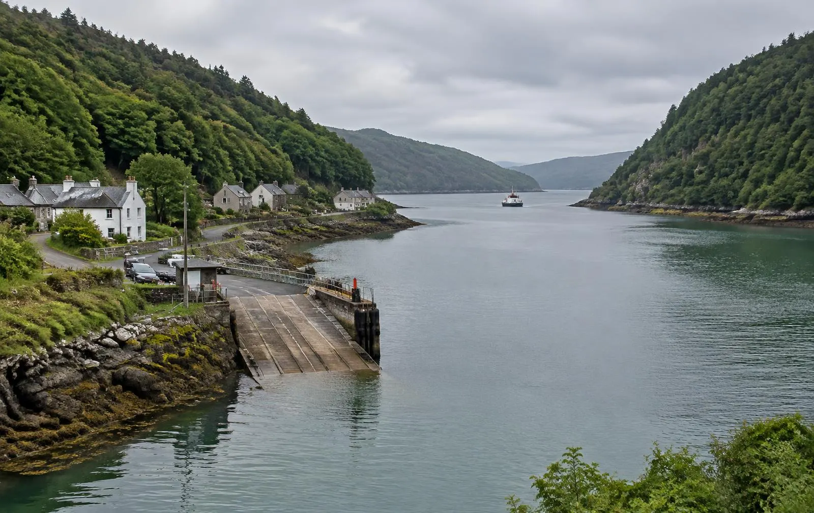
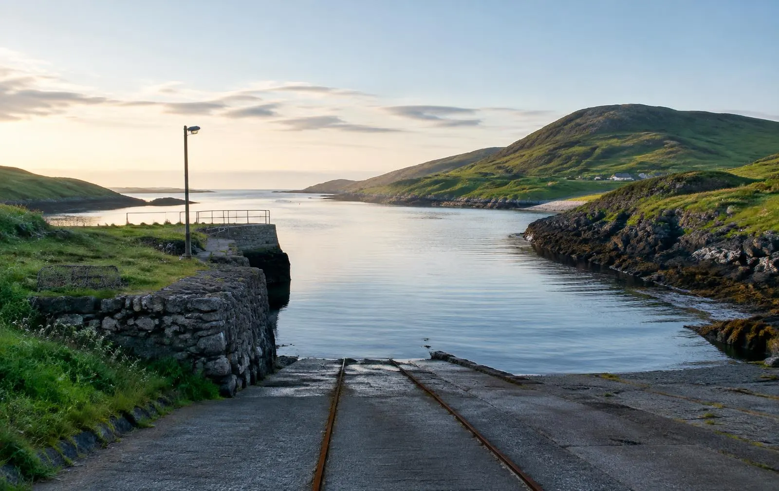
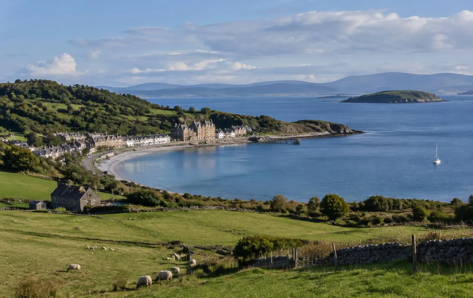
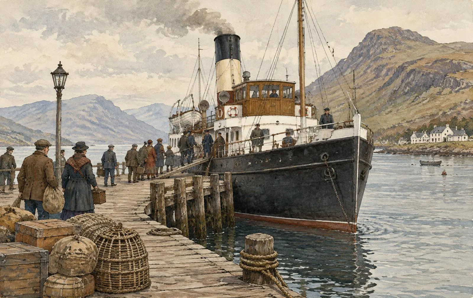
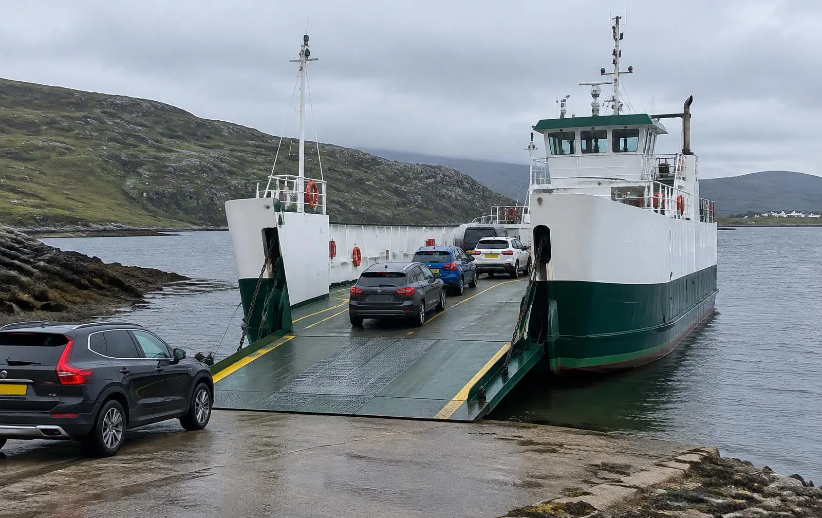
All gallery images are illustrations created for this website and do not depict specific vessels or documented events. Replace with licensed archive photographs where available.