
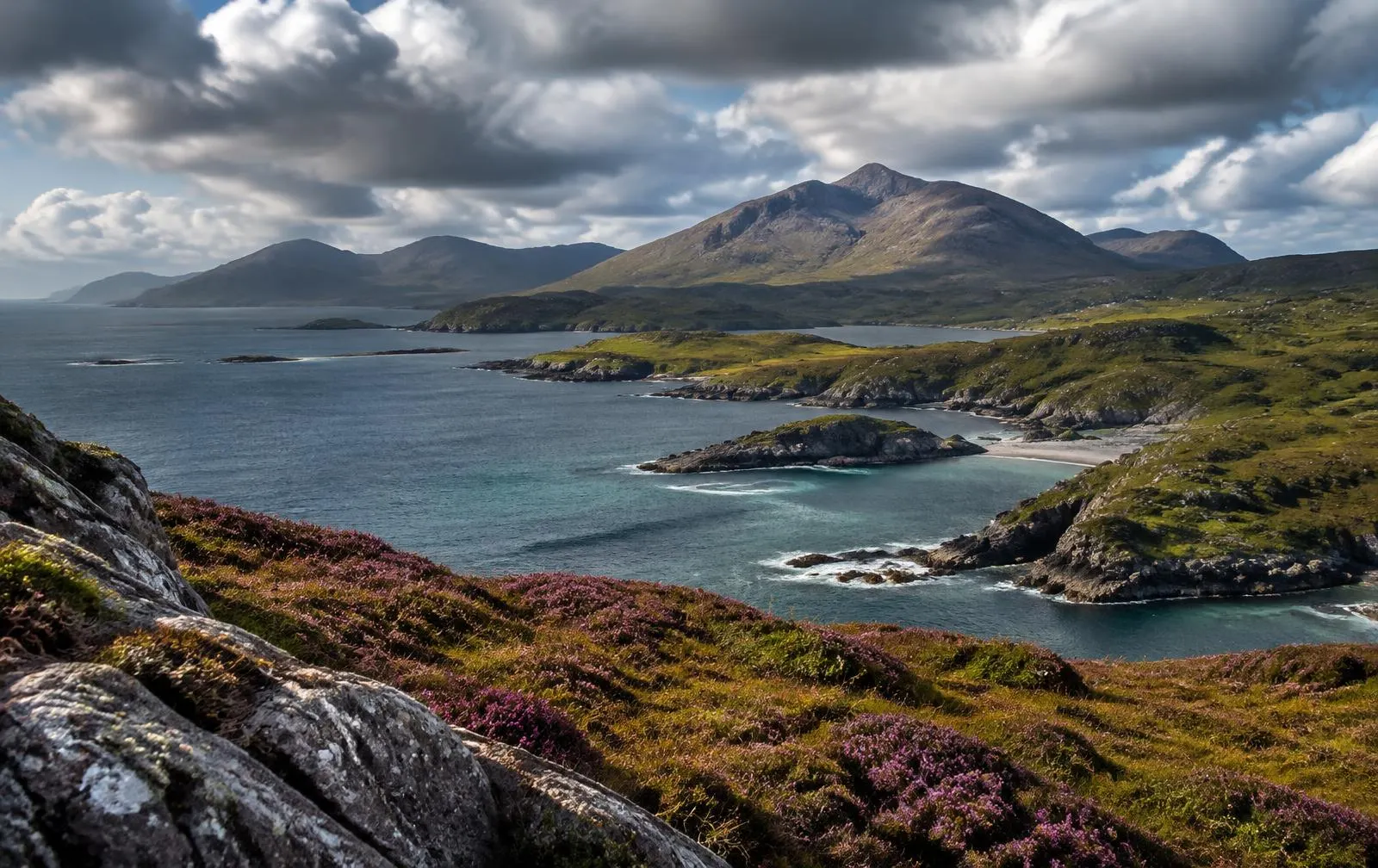
The Geography of the Sound of Mull
The Sound of Mull is a channel roughly twenty miles long separating the Isle of Mull from the mainland districts of Morvern and, at its northern end, Ardnamurchan. It is relatively sheltered compared with the open waters of the Firth of Lorn, and Lochaline and Fishnish face each other across one of its shorter stretches.
Morvern is almost an island itself — bounded by Loch Sunart, Loch Linnhe and the Sound of Mull — so its people have long looked to the sea. For Mull, the Sound has been both highway and boundary, overlooked in the medieval period by castles such as Duart on Mull and Ardtornish on the Morvern shore near Lochaline.
Early Maritime Connections
Ardtornish Castle, near the mouth of Loch Aline, was a seat of the Lords of the Isles, and the 1462 Treaty of Westminster–Ardtornish takes part of its name from it. The castle's position overlooking the Sound illustrates the strategic value of a channel crossed by the galleys of the Lordship. Kinlochaline Castle, at the head of the loch, likewise guarded the approaches. Travel between Morvern and Mull was normal and long-established, although detailed records of specific early ferry services are limited.
Traditional Island Transportation
Before modern ferries, the people of Morvern and Mull relied on small open boats for crossings and on visiting sailing vessels for trade. Cattle were a key export from Mull, and droving routes carried animals to the mainland on their way to lowland markets. Local boatmen served crossing points as demand required, dependent entirely on weather and daylight.
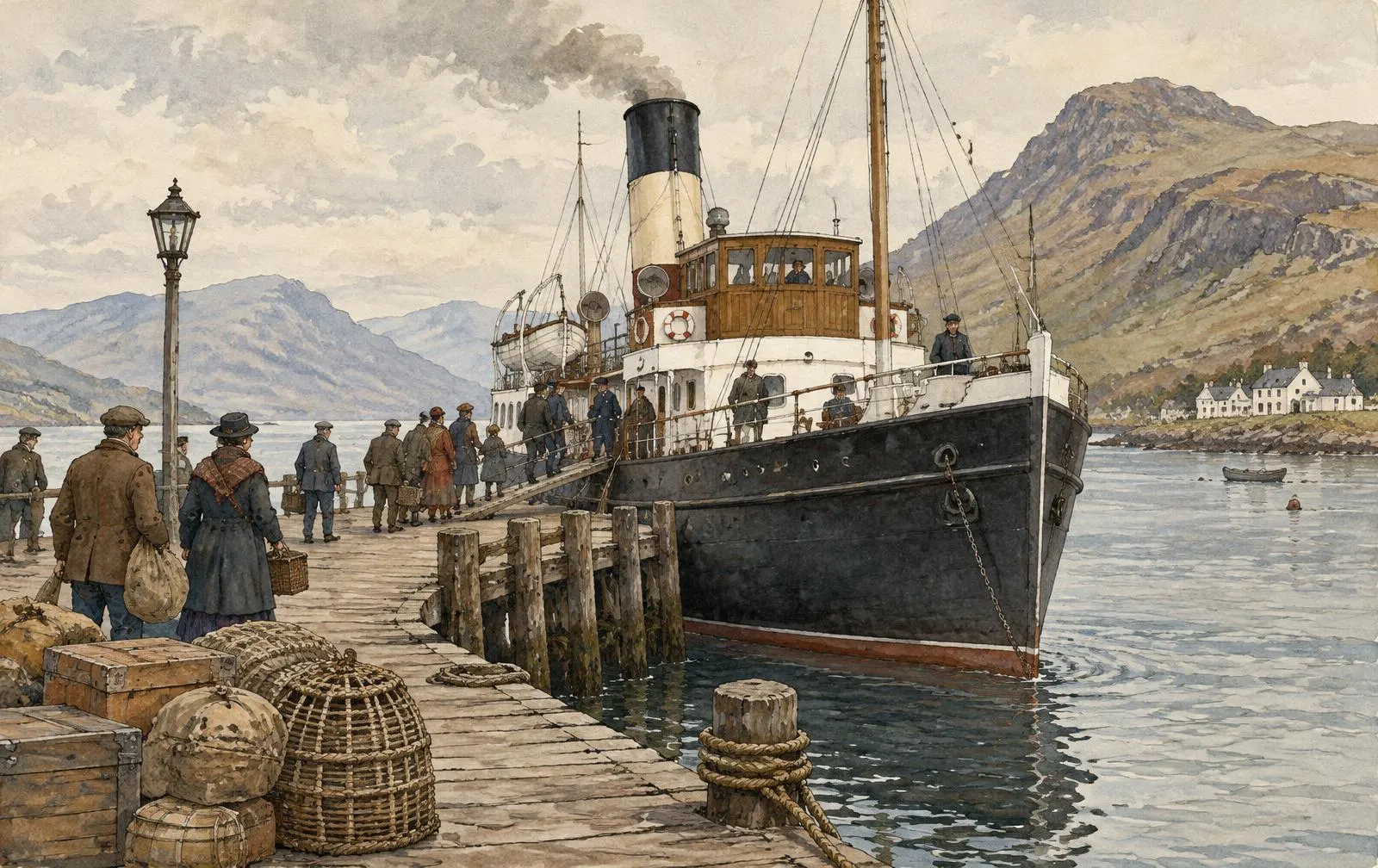
The nineteenth century brought great change. Morvern and Mull both experienced the Highland Clearances, and the population of Morvern fell sharply as land was turned over to sheep. Steamers on the Sound of Mull carried emigrants, mail and goods, linking these communities to Oban and Glasgow.
The Growth of Regular Ferry Crossings
Through the late nineteenth and twentieth centuries, MacBrayne steamers on routes from Oban called at points along the Sound of Mull, providing scheduled connections. The present short vehicle crossing between Lochaline and Fishnish belongs to the later vehicle-ferry era, generally associated with the early years of Caledonian MacBrayne in the 1970s. Readers seeking exact dates for particular sailings, vessels or slipway works should consult local heritage centres and published fleet histories.
The Development of Ferry Infrastructure
A short vehicle crossing depends on slipways usable at any state of the tide. At Lochaline and Fishnish, concrete slipways and marshalling areas allow vehicles to queue and drive on over the vessel's ramp. Vessels on such routes are small, shallow-draught ramped ferries designed for quick turnarounds. The infrastructure is now owned by Caledonian Maritime Assets Ltd.
The Introduction of Vehicle Ferries
Rising car ownership after the Second World War transformed travel to Mull. Instead of leaving vehicles on the mainland, residents and visitors could take cars across. The Lochaline–Fishnish ferry opened a practical road route between Mull and the north, linking with the Corran ferry and the road to Fort William, and gave Morvern a direct link to services on Mull.
The Role of CalMac
Caledonian MacBrayne, formed in 1973, has operated the route in the modern era under contract to government, with vessels and infrastructure now owned by CMAL. Over the decades different small ferries have served the crossing, and relief vessels cover maintenance periods.
This website is independent and not affiliated with CalMac. For current vessel deployment, refer to the operator's official information.
Tourism and the Isle of Mull
Victorian steamers first brought tourists to Mull on their way to Staffa and Iona, usually via Oban. The vehicle-ferry era made it possible to tour the island by car — Tobermory's colourful harbour, Duart Castle, the west coast beaches and the abbey on Iona. The Lochaline route lets visitors combine Mull with Morvern, Ardnamurchan and the road north in a circular tour of the west Highlands.
The Importance to Local Communities
For Morvern residents, the ferry links them to the larger community on Mull. For Mull, it offers a second vehicle route to the mainland and resilience when the Oban route is disrupted. The crossing supports local employment, businesses and access to services in a sparsely populated region.
Historical Timeline
- Medieval
Lordship of the Isles
Ardtornish Castle near Lochaline serves as a seat of the Lords of the Isles.
- 1462
Treaty of Westminster–Ardtornish
An agreement named in part after the castle overlooking the Sound.
- 19th c.
Steamers & Clearances
Steamers call along the Sound of Mull as Morvern's population falls.
- 1940
Lochaline sand mine
Silica sand mining begins at Lochaline.
- 1973
Caledonian MacBrayne
The combined operator is formed as the vehicle-ferry era expands.
- 2006
CalMac Ferries & CMAL
Operations and assets separated within public ownership.
Then and Now
Then
- Open boats under oar and sail
- Crossings dependent on weather and daylight
- Cattle and goods as main cargo
- Steamers calling at piers on longer routes
Now
- Purpose-built vehicle ferries
- Published seasonal timetables
- Concrete slipways usable at all tides
- Live service status updates online
Planning a trip? See our Lochaline–Fishnish ferry guide.